
This project aims to address gaps in forest cover mapping data in Indonesia, with a focus on oil palm plantations.
Advancing oil palm mapping with social forestry and machine learning
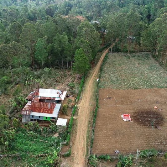
Past project
This project aims to address gaps in forest cover mapping data in Indonesia, with a focus on oil palm plantations. Engaging university faculty, students and partners, the initiative will compile existing spatial data, develop protocols for new data-collection and build a trained network of data-collection teams.
The project will create high-quality spatial reference data sets in 4x4 km plots, suitable for convolutional neural network models. These data sets include land cover information, metadata and corresponding satellite imagery. This effort aims to improve understanding of forest conversion impacts, particularly from oil palm cultivation, contributing to better forest management and climate change mitigation strategies in Southeast Asia.
Project details
Duration
01 May 2024 - 30 Jun 2025
Location
Indonesia
Donors
Lacuna Fund