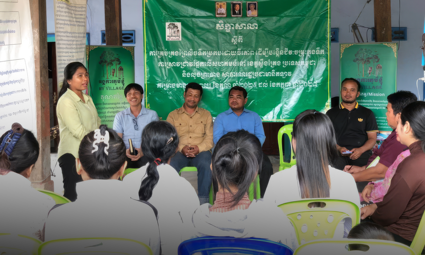
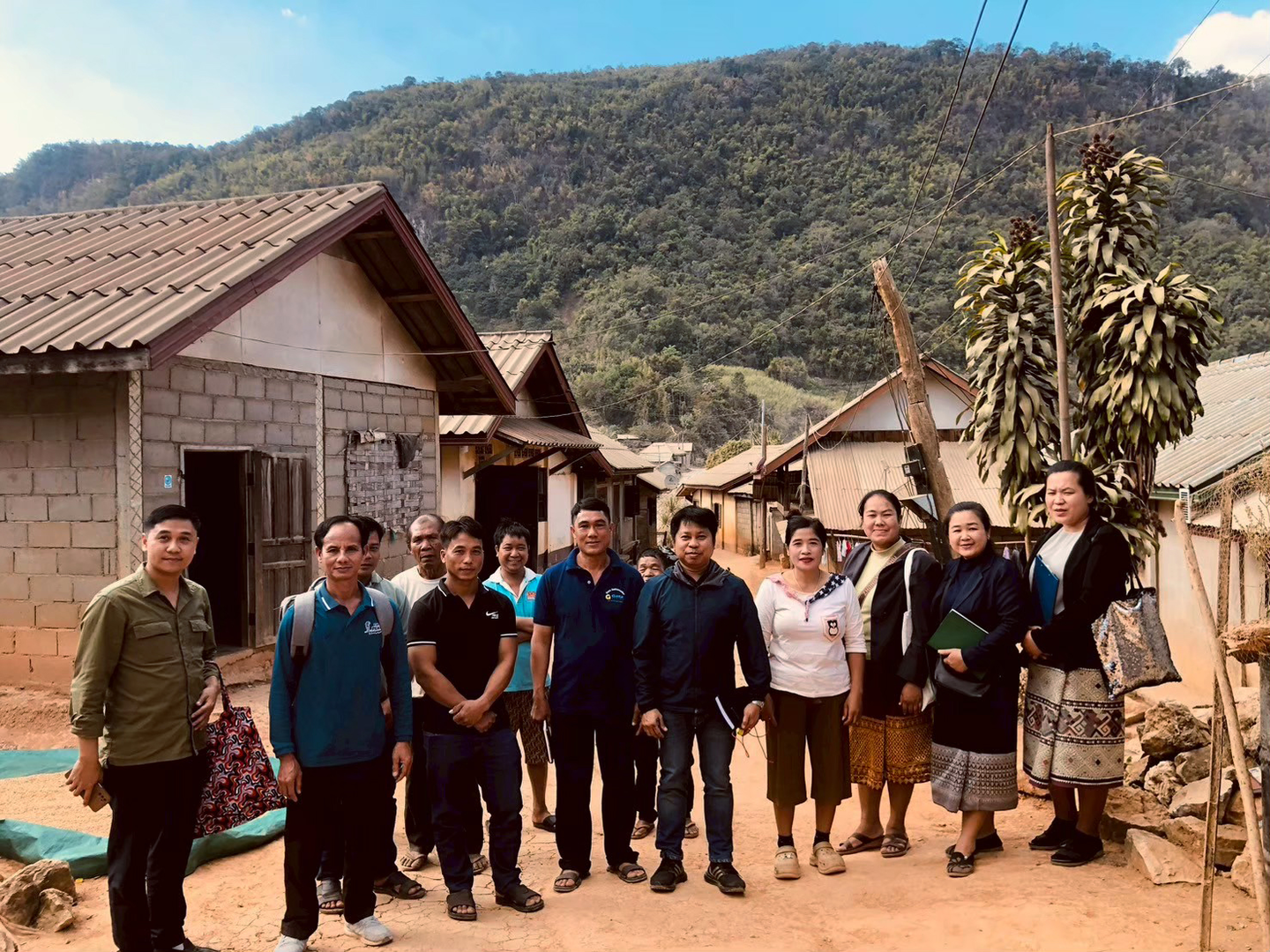
These workshops were organized by an Explore-supported research team working on sustainable management of flooded forests to enhance aquatic biodiversity. The team, one of 11 supported by the Explore programme, is led by Khajornkiat Srinuansom of Maejo University, Thailand.
In partnership with My Village Organization in Cambodia and the Northern Agriculture and Forestry College in Lao PDR, they are conducting community-based research in Stung Treng, Cambodia and Luang Prabang, Lao PDR, engaging communities across six pilot villages.
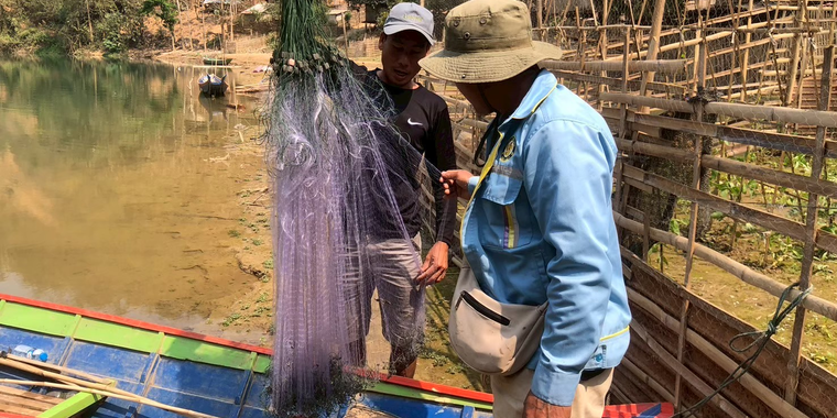
“Communities are linking the decline in fish catch directly to changes in flooded forests and river flow. These are changes they have observed over several years,’ said Srinuansom. His team is documenting the condition of flooded forests and aquatic habitats, combining local knowledge with field observations and mapping to build a clearer picture of how these ecosystems are evolving.
Community knowledge guides the way
In Lao PDR, researchers are combining field-based biodiversity assessments with mapping to understand habitat health and monitor long-term change. This creates a shared baseline that communities and researchers can use to assess whether conservation efforts are improving ecological conditions.
Community knowledge is central to this process. Between December 2025 and March 2026, community consultations helped identify local priorities while ensuring that local perspectives shape the direction of the work.
Observations on seasonal changes, fish behaviour and forest use are helping to build a more complete understanding of how flooded forests are changing, and why it matters for local livelihoods.
At the same time, gender equality, disability and social inclusion assessments are capturing how different groups interact with and depend on flooded forest resources.
Decisions informed by data
Building on these findings, the research project, which runs from 2025 to 2027, will support community-led conservation measures, including the establishment of fish sanctuaries and aquatic reserves to restore fish populations and strengthen local stewardship.
The team is currently developing ecological and social baselines to track changes over time. The data generated will help communities identify priority areas for protection and monitor progress. Considering the transboundary nature of the Mekong, the work will contribute to policy dialogue between Cambodia and Lao PDR.
“The development of conservation zones and fish sanctuaries is closely aligned with district priorities, both for resource management and local livelihoods,” says Khamphout Keobounma, a district official from the Xieng Ngeun District Agriculture and Environmental Office in Luang Prabang, Lao PDR.
By generating comparable data across sites and involving government stakeholders in the research process, the project aims to ensure that community-based monitoring and local insights inform broader strategies. A strong focus on inclusion will support women, Indigenous Peoples and other marginalized groups to engage in sustainable resource management and alternative livelihoods.
###
Explore is a research network and community of practice dedicated to expanding and applying knowledge on forest landscape governance in Southeast Asia. The network is funded by the government of Sweden. It is hosted by RECOFTC, in partnership with the Landscape Alliance, in collaboration with universities, research institutes, governments, civil society organizations, local communities and the private sector in Southeast Asia.
To learn more about Explore, contact [email protected] or visit the Explore website.