Students and satellites are helping close Indonesia’s land cover data gap
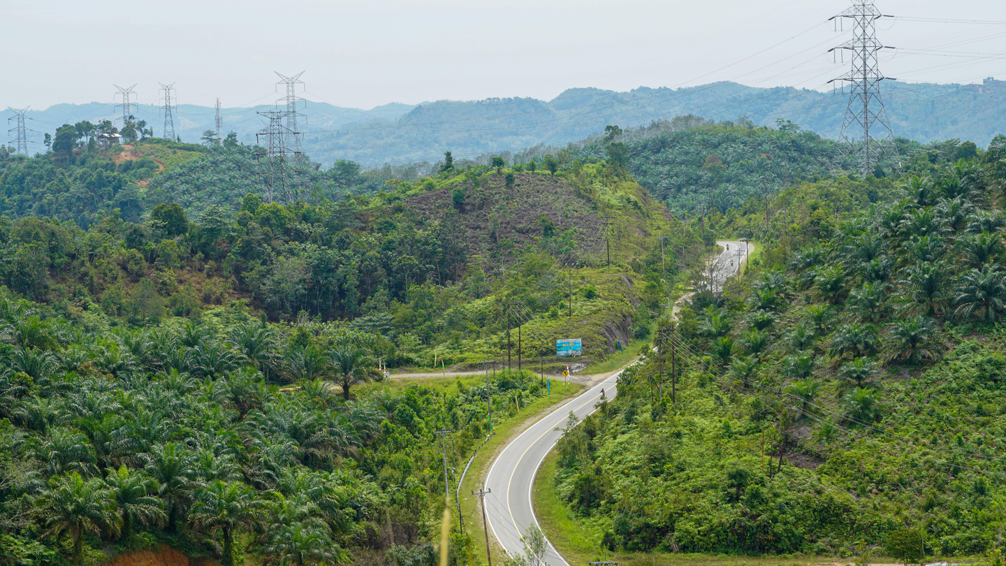
Oil palm is the biggest driver of deforestation in Indonesia. And yet the maps we use to track it are often unreliable, out of date or locked behind paywalls.
In 2025, RECOFTC completed a project to address this gap. University students were trained to help build a free, open land cover dataset that anyone can access and use.
From classrooms to field sites
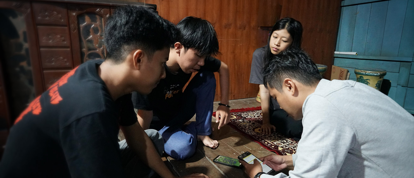
In January 2025, RECOFTC and the Spatial Informatics Group ran three-day GIS training workshops at two Indonesian universities – Hasanuddin University in South Sulawesi and the University of Riau. Sixty students learned how to read satellite images, identify land cover types, and digitize what they saw using mapping software.
Following the training, 30 of the top-performing students were engaged as paid data interpreters for five months. Over that time, they annotated satellite images across Riau and West Sulawesi, labelling every land cover feature they could identify – oil palm, forest, rice fields, rubber, coconut groves and more.
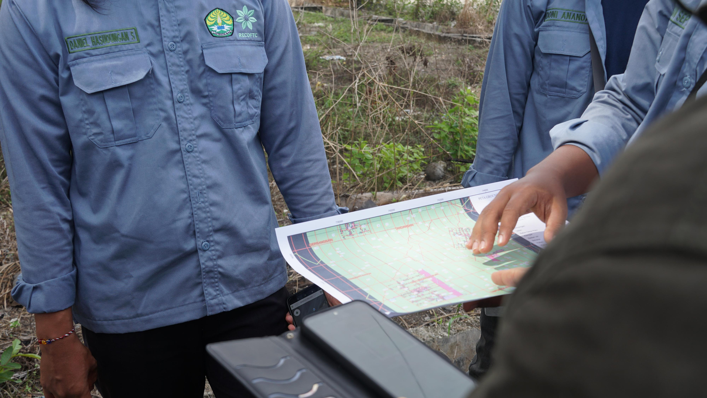
The students also visited field sites to check if what the satellites showed matched what was actually on the ground. In West Sulawesi, those visits included conversations with local communities about how they use and manage their land.