In Indonesia’s Sulawesi Island, photovoice helps communities document the impacts of changing forest boundaries
How do people contend with a growing forest when their access to it is restricted? How do they view the land and their sense of place and identity from beyond these curtained forests?
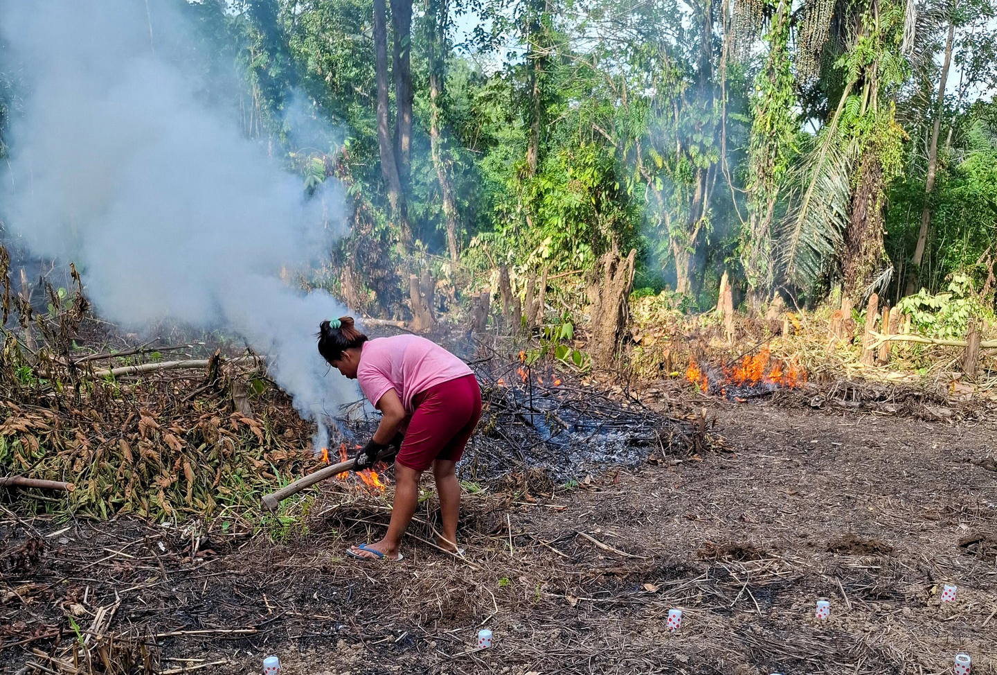
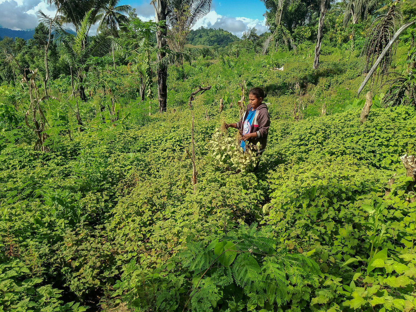
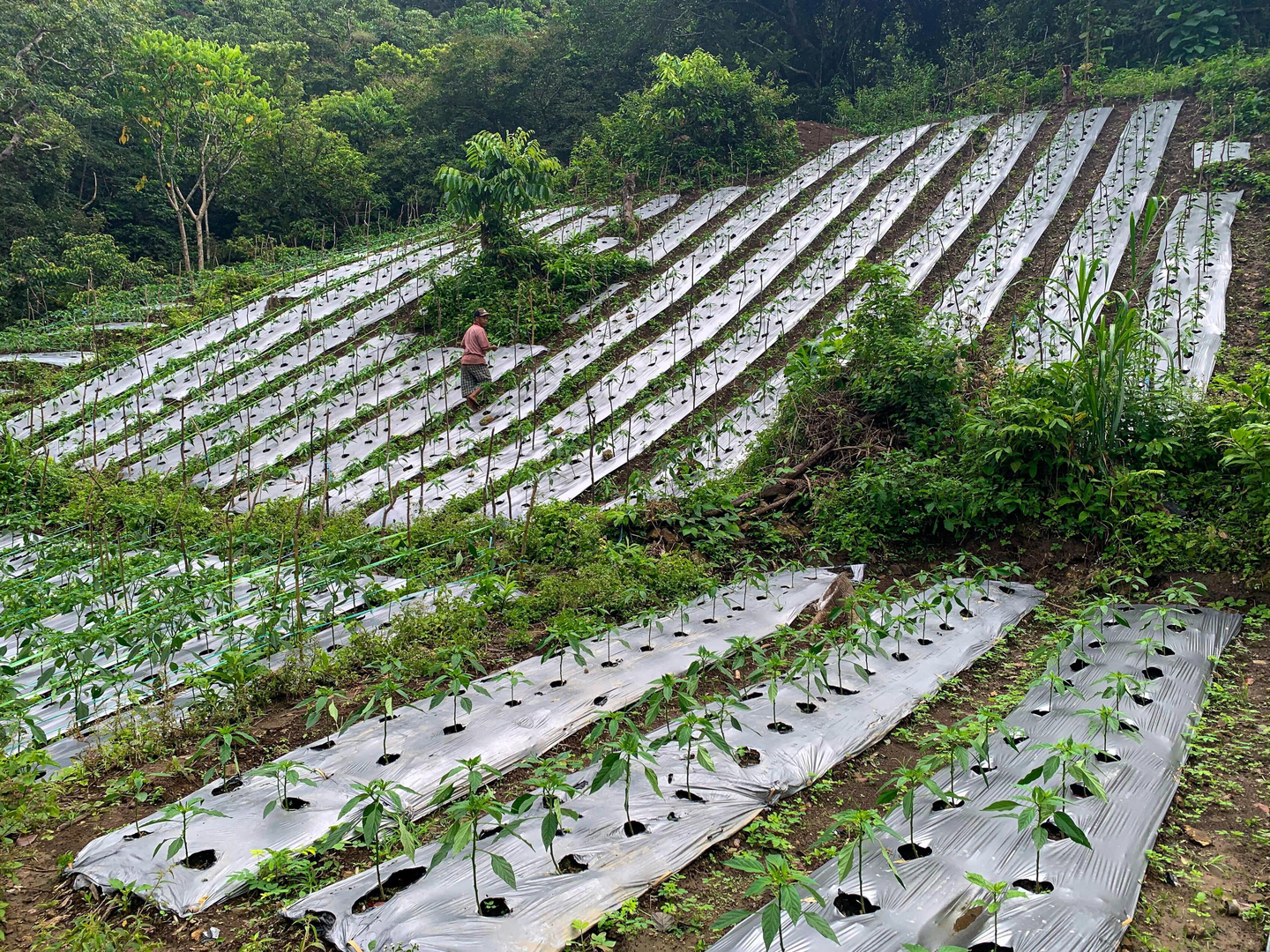
In South and West Sulawesi, Indonesia, communities answered that question through photography. Their images captured how state-led forest boundary expansion between 1980 and 2005 has shrunk their tenure rights, reshaping their livelihoods, identities and relationship with the land.
The forests they lost
In February 2025, villagers presented these photographs at an exhibition in Tamalea village, West Sulawesi. Around 60–70% of the area now overlaps with Gandang Dewata National Park, established in 2016, despite long-standing community presence and shifting cultivation practices.
The exhibition grew out of an Explore-supported research project on forest–agriculture frontiers. During fieldwork in mid-2023, researchers lived in participating villages before introducing photovoice, a participatory method that helps communities document experiences that are often absent from policy and governance discussions.